
General Information About Point Clouds
Point clouds
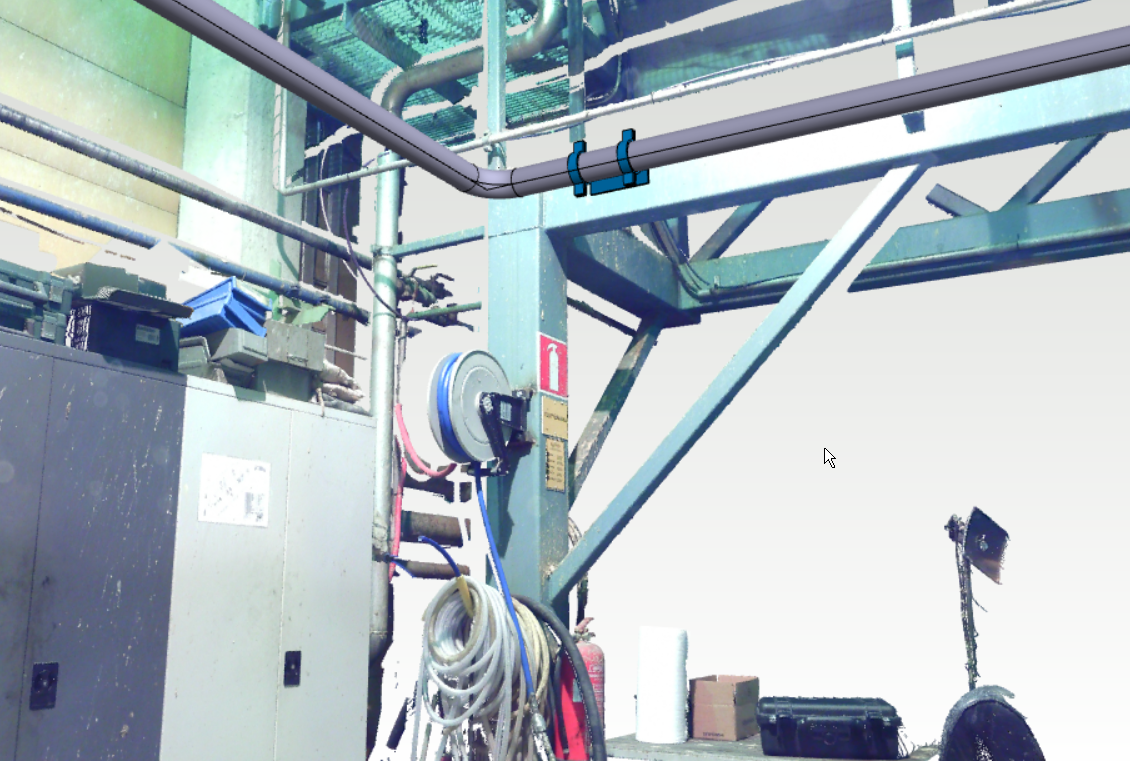
General
A point cloud is a file produced by laser scanning, which can contain millions of points from a scanned object. Depending on the scanner or the file format of the point cloud, the points can also store color information about the measured object. Laser scanning is widely used in repair planning for industrial plants, terrain mapping and construction measurements, for example.
Point cloud formats
Individual point clouds can be read directly as part of the active assembly or alternatively as a separate part model. Currently supported formats include e57, pts, ptx, las, laz, stl as well as general text files with txt or asc extensions. When reading the above-mentioned general text files, it is also checked whether the data is in a readable format. The line in a text file must contain at least the coordinates x,y,z separated by either a space or comma. The line can also continue in the same way, separated by the color values red, green and blue.
After import, point clouds can also be used as converted to Vertex models.
The most common formats imported into Vertex are currently e57, pts/ptx and las/laz. These formats also support gray scale or color values for points. In contrast, common text files with txt or asc extension usually contain only point location information.
When you import a point cloud, you can affect the thinning out or limiting of points and whether the cloud is brought directly into the active assembly or whether it is read as its own part. Read more about Import a Point Cloud.